Jun
22
2009
0

Day 18 – Monterey, CA (Veterans Memorial City Park) – Capitola, CA (New Brighton State Beach) – Artichoke Madness

55 miles in 6 hours

I wake up before 6am and quickly pack up. There are even more homeless people in the bathrooms in the morning, all waiting to take a shower before they go to work, I guess. I mean, it is nice that they have somewhere to go, but squeezing through 5 people who are just loitering in a small bathroom at 6am was uncomfortable in more than one way.

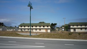
I head back down the hill and go to a Denny’s that I passed on the way up the hill the night before. I charge my cell phone there while I grab breakfast. With that out of the way I begin my trip around the bay to Santa Cruz. I first rode through a military neighborhood, and an old military base that was closed down.

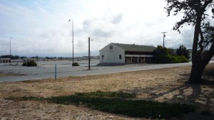
An old barracks.

An old barracks.

More old military base.

More old military base.

I then rode through a bunch of random farmland for a while.

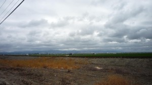
Workers in a field

Workers in a field

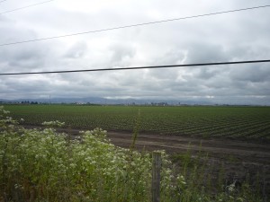
More farmland

More farmland

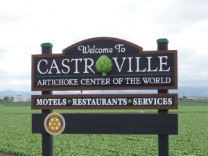
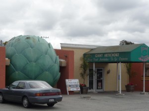
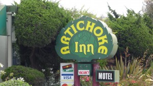
I eventually head through the town of Castroville, which is the Artichoke capital of the world, allegedly. I really only know artichokes from Spinach and Artichoke Dip, which I doubt even has artichoke in it. But, for each their own I guess. Maybe they are really quite delicious, but today wasn’t to be the day I found out.

Artichoke Center of the World...

Artichoke Center of the World...

They like their artichokes.

They like their artichokes.

Yup.

Yup.

Anyway, I go through some more remote areas and have to take some desolate back roads to try to get to Santa Cruz, since the PCH is a highway which bikes cannot get on.

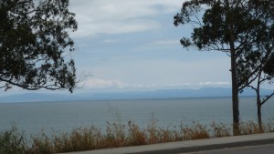
I think that is Monterey in the distance!

I think that is Monterey in the distance!

Anyway, despite some large hills I make it by around 2, and I roll up to New Brighton State Beach.

“Can I get a hiker/biker spot?”

“You can at around 4, so come back closer to then. If you get here five minutes early we will probably let you in though.”

“Uh, thanks.”

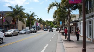
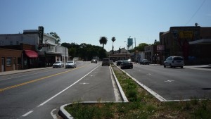
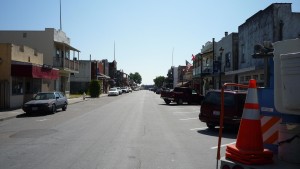
Glad to know they would let me in five minutes early… she was dead serious when she said that. Anyway I rode through the downtown looking for WiFi, which I did not find advertised on any of the coffee shops down there. I eventually decided to ride a few miles across town and just go to Starbucks. I sat there for a few hours and updated the website, and then ate some dinner. I headed back through downtown Capitola so I could shoot my daily video there.

Downtown Capitola

Downtown Capitola

I got back to the campground at around 6, and unfortunately the same ranger was not at the gate this time. I bought my biker (no hiker spots there – you needed a bike – and a photo id) spot and settled in for the night. I made a few phone calls despite having garbage service and planned my next several days in San Francisco. I wanted to shower, but realized that I lost my soap and shampoo somewhere else, likely San Simeon, which seemed like an eternity ago. I went to bed pretty early that night.


View Larger Map
Written by in: America,Everything |
Jun
23
2009
0

Day 19 – Capitola, CA (New Brighton State Beach) – San Francisco, CA – Overcoming

81 miles in 9.17 hours

I got up early, and saw that Tim, Tim, and Melissa had gotten in overnight. But, it being before 6am, I knew they would not be awake by the time I rolled out. I got everything together and was on the road by 6:45. I rode through Santa Cruz, and stopped and grabbed breakfast.

I think the lame flames on the sign is my favorite part.

I think the lame flames on the sign is my favorite part.

As soon as I got out of town it started to rain. Not just drizzle, but rain pretty hard. I put my raincoat on, my IPod in my ears (very rare), and my head down and just followed the white line. I couldn’t even look up, because the rain hurt my eyes when I did because of the headwind I was going into as well.

I grinded and eventually it cleared up a little bit a few hours into the day.

Alas, they were closed.

Alas, they were closed.

After the rain.

After the rain.

Don't worry, there will be no more beach shots soon.

Don't worry, there will be no more beach shots soon.

Island of trees.

Island of trees.

However, when it did the wind really started. To top it all off, this was literally the only day in the trip where I had somewhere to be at a certain time. I had to be in San Francisco by 4 or 4:30 or I wouldn’t be allowed on the BART until 6 or 6:30. As the day wore on, it became obvious that I was not going to make it.

Not only that, but finally as the wind was beginning to die down, the hills started.

Hills

Hills

And these were big ones. And I began to feel pretty ill as well. This made for very slow times, but I made it to Half Moon Bay. I stopped, soaking wet, smelling awful I am sure, in a little cafe and had lunch. When they closed I saw that I wasn’t going to make it by 4:30, so I just decided to make the most of my time and went to Starbucks for a few hours. After that I felt much better and was ready to tackle the last 20-30 miles into the city.

Going past Half Moon Bay is was very pretty, but eventually I got to some huge mountains where there was a ton of construction going on and absolutely no shoulders. And it was rush hour. I would later learn that this section of the road is called the Devil’s Slide, and devilish it was. I was going in 200 foot increments because it was so steep and harrowing, and stopping anytime there was even 3 inches right of the white line to hide in and allow cars to pass. I did this for an hour, and eventually made it to the top, and began the decent into Pacifica. This was fantastic, and almost worth the harrowing ride up the hill. Almost. (Sorry – no pictures – was trying not to die).

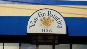
Boo to your lame business name.

Boo to your lame business name.

From Pacifica I took back roads through into San Francisco, and had to climb what had to be the steepest, if not the longest hill of the trip. It was called Skyline Drive, and it was ridiculous. I ended up just pushing my bike up the steepest section at under 3 miles per hour, which is slow even by pushing standards.

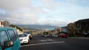
Another example of a hill not looking steep in a picture... it was.

Another example of a hill not looking steep in a picture... it was.

Once I got over that last hill, I rode down to the Colma BART station and took the BART to the Civic Center Station. I rode up the last hill and met my friend with 11.1 seconds left in the NBA Finals Game Four. I got there in time to see Fisher make the three to send it to overtime and then see the Lakers win the game in that overtime.

I showered up and we went out and got dinner at a great Thai place and went to a few neighborhood bars. Thanks for the hospitality Pete!


View Larger Map

(First day with no video… sorry gang).

Written by in: America,Everything |
Jun
24
2009
0

Days 20-23 – San Francisco, CA – American Canyon, CA – More (almost) Zero Days

10 miles in 1.33 hours

The next morning Pete told me that I could hang out in his place as long as I wanted because the door would automatically lock after me when I went. I took advantage of this to catch up on the internet, and get the website a little more updated. At a little before 2:00 I left and went back to the BART station and took it to another friend’s place in Dublin. I relaxed there the whole night and didn’t really do much.

The day after that my friend and his wife were both not feeling good so I went to Buffalo Wild Wings to watch UFC 99 and then went to a place called Any Mountain to see if they had any gear that I would need in the mountains. They didn’t really, so I just went back to the Curtis’ house and watched TV for the rest of the night.

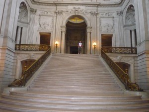
The next day I went to a Peet’s Coffee and Tea for the first time to check it out. It was pretty good, comparable to Starbucks, and they also have WiFi. I then took the BART back to the Civic Center Station and met my uncle by City Hall and did an amazing tour through it.

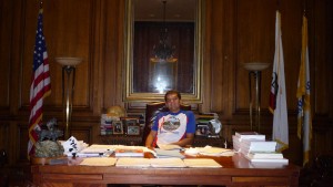
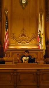
Me sitting in the Mayor of San Francisco's chair!

Me sitting in the Mayor of San Francisco's chair!

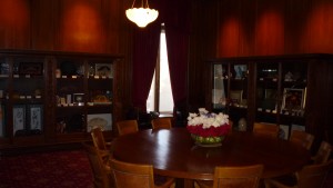
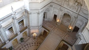
The international room

The international room

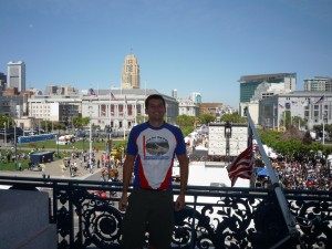
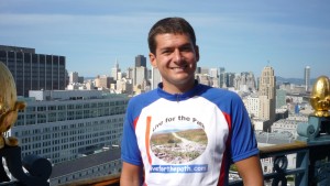
Me standing on the Mayor's balcony.

Me standing on the Mayor's balcony.

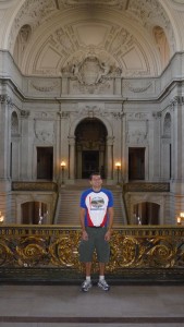
City Hall

City Hall

Order!

Order!

Getting higher

Getting higher

Made it to the top.

Made it to the top.

The steps are big.

The steps are big.

I then got driven back to his house in American Canyon to see my Aunt and little cousin Jenny, who we don’t get a chance to see very often. We had a great dinner and a laid back night.

On my final rest day my uncle drove me to REI so I could buy some gear that I needed. I got a tire, a few tubes, some warm weather gear, and rain pants. Not only that but he insisted on paying for everything. Thanks Uncle Jim! After we got back he took his daughter out rock climbing while I stayed home to work on my bike and my website. When they left I figured the least I could do to pay them back was to get them something, so I hopped on my unloaded bike, went way faster than I am used to, and bought them Princess Bride, which no one had apparently seen in the family. I also put a new tire in the back (my old one was worn very low) and did some website work. I got another great dinner and to watch Princess Bride at night, which is always okay with me (even though I saw the last half just a couple days before – it is one of my favorites). I did some laundry and went to bed.

Written by in: America,Everything |
Jun
25
2009
0

A Recap of the First Two Parts of my Trip

1068 miles in ?? hours (If someone wants to calculate this feel free – assume 8 hours saddle time for day 1).

I thought that it would be nice to give you guys, particularly the late comers, an overview of the first two parts of my trip today – and to give shout outs to some particularly helpful people. It is hard to believe that I have already done over 1000 miles, but there it is. There have been times of immense nervousness (I was down to my last tube just 15 miles out of Surprise – 300 miles to the next bike shop), weariness (the night trip to Desert Center), but mostly just joy and wonder, which is what I wanted. I have been in California for three weeks, it is time for me to move on and see the rest of the country. I hope you all come along with me.


View Larger Map
Written by in: America,Everything |
Jun
26
2009
0

Day 24 – American Canyon, CA – Rio Vista, CA (Brannan Island State Recreational Area) – Back on the Road – mostly.

50 miles in 4 hours – Max Speed: 38.5mph

The day dawned, and although I didn’t really want to, I knew it was time to move on and begin the next phase of my trip. I finished updating my website in the morning, had a massive breakfast, and then proceeded to pack everything up. When I finally had absolutely no possible way to procrastinate further I left and started back out on the road.

Napa

Napa

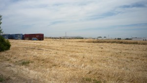
Where trains go to die.

Where trains go to die.

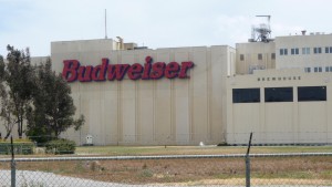
Bud. Wei. Ser.

Bud. Wei. Ser.

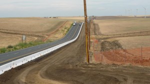
I use Google Street View pretty frequently to see how rideable roads appear, and I saw that highway 12 looked like a great road to take. I went up the main street through American Canyon until I hit highway 12, and then proceeded to take that for the next 40 or so miles to Rio Vista – or so I thought. Highway 12 was a great road to take for the first 20 or so miles, and then all of a sudden they erected jersey barriers in the lane and put blockers in the middle, so that it was physically not possible for me to fit with a car, and cars could not pass. It actually because physically impossible to ride that road. I really have no idea what in the world California is thinking.

Not the part I complained about, but just another example of the state randomly forcing me into the travel lanes of the highway for no reason. Idiots.

Not the part I complained about, but just another example of the state randomly forcing me into the travel lanes of the highway for no reason. Idiots.

Thanks. Though this section did not have the stupid plastic barriers in the middle of the road.

Thanks. Though this section did not have the stupid plastic barriers in the middle of the road.

I got off the road ASAP and took a dirt path next to the road for a while, which is never fun fully loaded. I finally found a way around, and took a cross street up to a gravel road which I took for the last 10 miles into town.

I am in the middle of nowhere.

I am in the middle of nowhere.

Note: The following two videos are almost unwatchable because of the wind, sorry about that, I considered not posting a video today, but wanted to get something up. Sorry again for the quality. At least the wind was a tailwind!

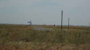
Stop signs.

Stop signs.

Once I was done marveling at the county/state for spending millions of dollars to do all this work for nothing, I grabbed some dinner in town. I then went over a pretty narrow bridge, and down to my campgrounds for the night, the Brannan Island State Recreational Area. I set up, and relaxed for a few hours.

A campsite visitor. He was the size of a large horsefly, but I don't think he was.

A campsite visitor. He was the size of a large horsefly, but I don't think he was.

I had been talking to Tim and Tim, so I knew they were coming as well. Sure enough, they showed up, and we all had dinner and went to bed.


View Larger Map
Written by in: America,Everything |
Jun
29
2009
0

Day 25 – Rio Vista, CA (Brannan Island State Recreational Area) – Folsom, CA (Baels Point Campground) – Tailwinds and Flatlands

75 miles in 6 hours – Max Speed: 21mph

I got up early the next morning, and since traversing the narrow bridge on the 12 once yesterday wasn’t enough, I figured that I should do it a few more times. I went back into Rio Vista and got breakfast, and then went back over the bridge and headed north.

I rode through a bunch of very small towns, several of them with population under 100 on my way towards the Sacramento Metro Area.

Part of Isleton, CA

Part of Isleton, CA

More of Isleton

More of Isleton

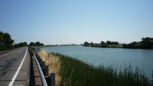
This route was great because while there was no shoulder, I probably saw 10 cars on the road for the first two hours that I was riding. It was also very pretty to ride along the river.

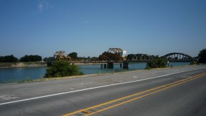
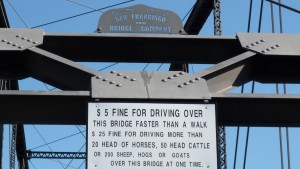
I went over that strange looking bridge.

I went over that strange looking bridge.

Pretty

Pretty

I finally got close enough to Sacramento to get to a Starbucks, which I sat at for a few hours. I started riding again, and got to a road which, much like the roads I rode on earlier, had no shoulder, but the traffic situation was much, much different. It was close to rush hour and this road was really busy. This was very poor, but just when I was going to look for another route, a shoulder appeared! I was happy that my karma from the day before evened out.

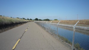
I got into Sacramento and took the bike path for a while through the city towards Folsom. This was pretty nice, but was not the most direct route that I have ever taken.

Bike Path

Bike Path

As I got closer to Folsom the hills, which had been conspicuously absent for the last day and a half appeared. I don’t know if it was because the day was pretty long or the days off had affected me, but these hills seemed pretty brutal, when I knew that they weren’t.

I got to the campsite at around 7 and bought a site. I paid the $20 (sigh to no more hiker/biker spots) and set up the tent. I showered and sat around for a few hours and then Tim and Tim eventually showed up. They bought a tri-tip earlier in the day from a butcher, and they cooked it up and let me have some. Thanks again guys! I got to bed at around 12.


View Larger Map
Written by in: America,Everything |
Jun
30
2009
0

Day 26 – Folsom, CA (Baels Point Campground) – Pollock Pines, CA (Sly Park Recreational Area) – Into the Sierra’s

47 miles in 5.33 hours – Max Speed: 31mph

I got up pretty early and after breakfast, headed east towards the mountains.

Thank goodness I am away from the coast.

Thank goodness I am away from the coast.

What about 1 bike that is fully loaded?

What about 1 bike that is fully loaded?

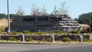
Very early in the day it became obvious that it was going to be a hilly day. I passed by the famous Folsom State Prison where Johnny Cash played and took a picture.

Yup.

Yup.

:O

:O

I grinded up some hills, always to give the elevation back in a downhill and then eventually stopped at a Starbucks.

Pretty

Pretty

I updated the website for a while and then continued. As soon as I left the Starbucks I passed an all you can eat pizza buffet, so made another stop. After putting them out of business I finally really got going again.

The remainder of the day was hilly, and had a lot of traffic. I did get to stop in a small town called Diamond Springs and sent some more stuff home, because I knew that I was getting to the ‘hilly’ part of the trip.

Notice anything here?

Notice anything here?

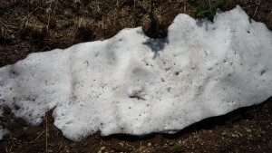
Take a closer look. Snow! In June! This bodes poorly.

Take a closer look. Snow! In June! This bodes poorly.

I left and then did a mammoth uphill. It was probably only two miles, but I think I gained over 1000 feet during it. After that it was pretty flat all the way to the campgrounds. There was great stealth camping around, but I was running low on water and I didn’t know if Tim and Tim were planning on making it to the campground that night.

Definitely different looking here.

Definitely different looking here.

I got there at about 7pm and settled in. One of my neighbors, Billy, who I think was a little drunk, came over and talked for a while. He gave me a bunch of his leftovers since he was leaving the next morning, so thanks very much to him! I talked to the neighbors on the other side for a while as well, who ran an organization which takes kids out of gangs in Sacramento and takes them camping and dirtbike riding and things. The guy who ran that was a really cool guy as well.

I then went to a neighboring campsite because I heard that there were two other bikers going cross country there as well. I talked with those two guys for a while, and got their phone number.

I relaxed for the rest of the night, and then laid in the tent. Tim and Tim had texted me saying they will likely be there at around 2am. I figured I would just see their tents in the morning.


View Larger Map
Written by in: America,Everything |
Jul
01
2009
2

Day 27 – Pollock Pines, CA (Sly Park Recreational Area) – Gardnerville, NV – Pass One of Three

80 miles in 8.75 hours – Max Speed: 48mph (!!)

As the night wore on it became obvious that I wasn’t going to get much sleep, the ex-gang members were incredibly loud, despite being asked by just about everyone, including the ranger, to quiet down. Oh well. I got up at 5:30 having gotten no REM sleep. Tim and Tim were not there either. I packed up and hit the road at around 6:30. I went to a little restaurant and general store at the top of the campgrounds, which did not open until 7:00. I ate some sandwiches that I had and relaxed outside.

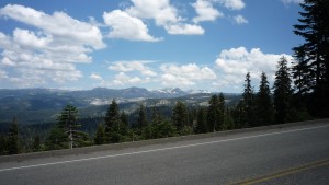
Once they opened I stocked up on snacks and drinks, because I knew there were no services for the first 35 miles of my trip. This doesn’t sound like much, but when you are gaining 5000 vertical feet during those 35 miles, it takes a long time to do.

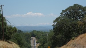
I started out and slowly made progress. I thought I could make the Carson Pass, about 45 miles away by 3pm, which would be an average of just over 5mph. As I grinded along the road, it became clear that I was not going to make it.

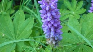
Mountain Flora

Mountain Flora

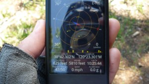
GPS is pretty cool.

GPS is pretty cool.

Yup

Yup

Brr

Brr

Blurry hitchhiker

Blurry hitchhiker

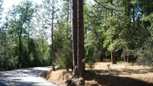
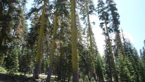
Mossy trees

Mossy trees

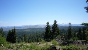
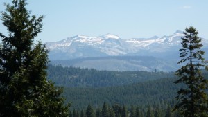
Mountains and trees.

Mountains and trees.

Snow, right next to me.

Snow, right next to me.

More of the same

More of the same

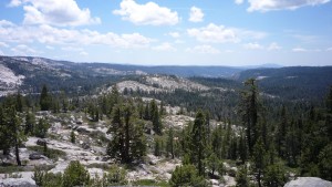
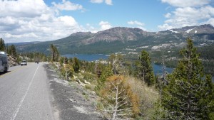
The views almost made the climb worth it.

The views almost made the climb worth it.

This ride was extremely exhausting, and I finally reached the end of the first, road, just 32 miles long, at around 2pm. I rode down a large hill, giving up 1000 of my hard earned vertical feet and stopped for a snack at Silver Lake.

Silver Lake

Silver Lake

After filling up my water bottles, and eating a bunch of junk food (no restaurant open) I started back up another 1000 foot hill. Once I reached the summit of that (Carson Spur) I rode down another 500 foot hill into a town called Kirkwood.

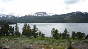
Caples Lake. I feel like gravity does not like lakes at 8000 feet above sea level.

Caples Lake. I feel like gravity does not like lakes at 8000 feet above sea level.

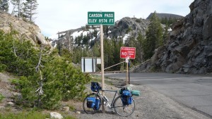
I sighed, kept going, and at 5pm, finally reached Carson Pass, at 8500 feet.

The bike looks pretty fresh.

The bike looks pretty fresh.

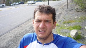
The rider, on the other hand, does not. You can tell how much it took because I am down to just short sleeves and shorts despite the cold.

The rider, on the other hand, does not. You can tell how much it took because I am down to just short sleeves and shorts despite the cold.

I then had the greatest ride of my life. I went down 4000 feet over the next 30 miles, which I probably did in just over an hour. I averaged 40 mph for long periods of time, and had I not been following a big rig, would have reached 50. This ride was absolutely amazing and really beautiful.

The only picture I took on the way down. It is too bad because it really was beautiful, but I was too busy going fast to bother with pics.

The only picture I took on the way down. It is too bad because it really was beautiful, but I was too busy going fast to bother with pics.

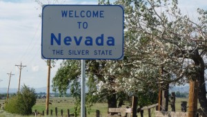
I made it to the Nevada border in no time.

Finally, a new state.

Finally, a new state.

Looking back towards the mountains as the sun goes behind them.

Looking back towards the mountains as the sun goes behind them.

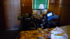
I rode into the town of Menden, and looked for a place to stealth. Problem is that it was totally flat and all fenced off farmland – not the best for stealthing. I looked around main street, and saw some cheap looking motels. After making some phone calls and checking some reviews on google (in Starbucks, clearly), I got a room in one of them and quickly fell asleep.

Night

Night


View Larger Map
Written by in: America,Everything |
Jul
02
2009
0

Day 28 – Gardnerville, NV – Carson City, NV – Preparing for nothingness

18 miles in 1.5 hours – Max Speed 31.5mph

I got up the next morning, I relaxed and took it easy, because I knew that it was going to be a short day, because I had reserved a room in the Motel 6 in Carson City a few days before. I left at around 10 and headed up the road towards Nevada’s capital.

I listened to the advice.

I listened to the advice.

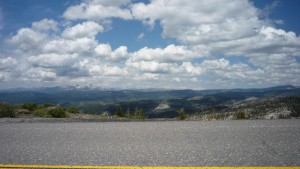
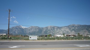
A look at what I came out of yesterday.

A look at what I came out of yesterday.

Carson City ahead. A good candid of the day to day too.

Carson City ahead. A good candid of the day to day too.

I got there at 11, and went inside to see if they happened to have a room available that early. They did not but told me to come back in an hour. I took advantage of this to head into the city, see the sights, and stop at a bike shop.

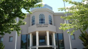
Nevada Statehouse (there were too many trees to get a clear shot from farther away)

Nevada Statehouse (there were too many trees to get a clear shot from farther away)

Now with extra straight pieces!

Now with extra straight pieces!

There I bought another water bottle ( I lost one several days before), a new water bottle cage (one of mine was broken – related to the lost water bottle), and a pair of shoes (because mine were in tatters). These were much more stiff than my old shoes, which I figured would help because my toes would occasionally get numb if I used my straps on my pedals. They gave me a 15% discount for no reason and installed the cage for free. Thanks to the staff at Bike Smiths for everything!

I went back through down and checked into Motel 6 and took it easy for the rest of the day. At around 5 the two guys that I met (Francis and Brian) stopped by since I said they could use my shower if they wanted. They did this and headed out and I walked and grabbed dinner and went to Starbucks where I quickly updated an entire week of the website! I went home, sad that this Motel 6 didn’t have Spike TV (free fights were on), and went to bed early. I was woken up at around 11 by Tim and Tim calling asking to use my shower. I said okay, and then they never showed. I went back to sleep.


View Larger Map
Written by in: America,Everything |
Jul
06
2009
0

Day 29 – Carson City, NV – Fallon, NV – Easy Ride

69 miles in 5 hours – Max Speed 44mph

I got out of the Motel at around 9:30 and rode east out of Carson City after getting breakfast. I went on some back roads, then got on route 50, which would be my home for many days to come.

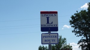
The Lincoln Highway, the first transcontinental paved road.

The Lincoln Highway, the first transcontinental paved road.

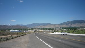
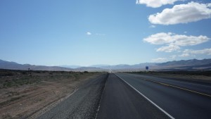
Bye bye Carson City. Bye bye civilization.

Bye bye Carson City. Bye bye civilization.

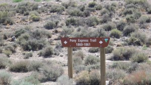
Not only does the 50 follow the Lincoln Highway, but it also follows the famous Pony Express.

Not only does the 50 follow the Lincoln Highway, but it also follows the famous Pony Express.

It may be  wussy, but this is infact the first of many, many passes.

It may be wussy, but this is infact the first of many, many passes.

And this is the first of many many shots like this one.

And this is the first of many many shots like this one.

I stopped in the town of Dayton an hour later at Starbucks and then Taco Bell. I moved on at around 1pm upon hearing from Francis and Brian that they got a hotel room in Fallon and said they were willing to let me stay there also.

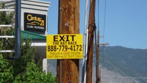
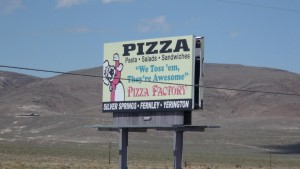
And we have a new contestant in the lamest business name/slogan contest.

And we have a new contestant in the lamest business name/slogan contest.

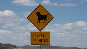
Being gored to death by a bull on the road would be a sad way to go.

Being gored to death by a bull on the road would be a sad way to go.

I went through the town of Silver Springs and then got to Fallon pretty early, probably at around 5. I called and texted Francis, but he didn’t answer. So I went back out, stopped at the bank, and stopped at the last Starbucks that there was until Colorado.

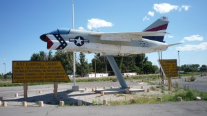
Fallon has a huge Air Force Base in it. Everything in town was called Top Gun this and Top Gun that.

Fallon has a huge Air Force Base in it. Everything in town was called Top Gun this and Top Gun that.

I sat there for a few hours until I got a call from Francis that they arrived. I went over, and took a shower while they went and got dinner. Embarrassingly, the hot water faucet in the shower broke when I was taking a shower, and it was unrepairable. I went to the front desk and told them so they would fix it, but it was only a little kid there (maybe 14) and he said his parents were out of town, so it wouldn’t get fixed until the morning. Dammit. The shower was operated with pliers for the rest of the night. Sorry again guys.

Anyway, I got some supplies at a CVS nearby and then had an easy night watching TV. Thanks guys for letting me crash in your room!


View Larger Map
Written by in: America,Everything |

Powered by WordPress. Theme: Based on Aeros by TheBuckmaker. All content Copyright 2009 Kyle Askine